VK2/MN-179, Stroud Mountain, 29th April 2019, VK2NU/P

Map of walk
Stroud Mountain is in the Myall River State Forest about 4km North West of the town of Stroud (no surprise there).
The summit was unactivated, and in the general area of another few summits I had activated previously.
Getting There: North on the M1 Motorway then Right on the Pacific Hwy, through Raymond Terrace. Turn left onto the Bucketts Way, and turn Right onto Booral Road (at the township of Booral). After about 15km there is a Left turn onto Jarrah Road.
The coordinates for this turn are S32.45954, E152.10074.

Sign just past the turnoff. The actual turnoff is not signposted!
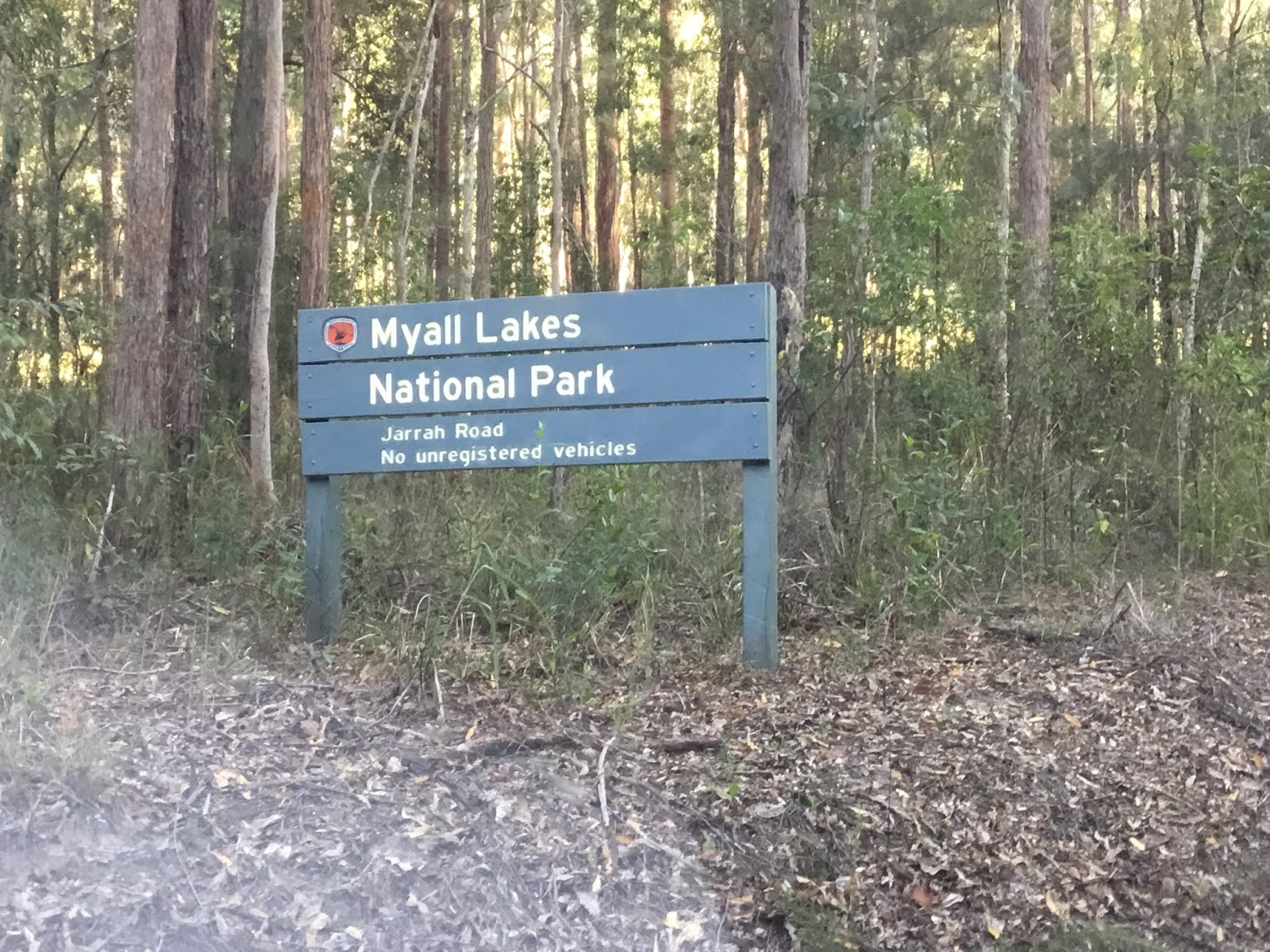
Sign just after turning off.
The road runs through the Myall Lakes National Park for about 12km, before switching to State Forest. There are several side roads, but just stay on Jarrah Road.

Side Road 4.5km into the NP. I'd previously activated Purgatory Mountain, and Apple Tree Hill, both down this Road.

Sign heading into the State Forest (fortunately it isn't SOTA season!)
After leaving the National Park stay on Jarrah Road until you reach the following coordinates S32.38405, E152.05333. There is plenty of room here to park at the side of Jarrah Road.

Car Park, looking back down Jarrah Road (left), and walking trail (centre)
Jarrah Road Notes: In places the road is rutted, and very rocky. I managed it with a Hyundai i30, but it was rough at times. If you value your car, don't do it!. The road would be easy for a 4wd, or something with high clearance, but would be tricky in the wet.
The walk to the summit is about 5km each way along the route marked on the map above. There are several side trails, so care should be taken. The trail is good, but rocky in places, with signs of Trail Bikes, and Horses (no good for 4wds). Most of the climb is in the second half of the walk, but nothing too severe.


And a much bigger one. Both of these were easily navigated, with side trails around the obstructions.
It took 1hr50 mins to get to the high spot of the trail. Coordinates S32.37299, E152.02005.
SOTA maps and SIX maps said the trail was in the activation zone, but looking up the hill there still seemed to be a way to go, so I left the trail and climbed to the top. About 60m in there is a flat area, with the GPS saying it was 19m higher than the trail (so I could have stayed on the path).
The 60m to the summit is rocky, but fortunately the bush was not too thick.

High point of trail, looking South West

The summit is about 60m behind me.


Summit area, flat and tree lined.
I'd originally planned to use the OCF Dipole along the trail, but since I'd got to the actual summit, I decided to set-up here. However, the bush was a little thick for a dipole, so I used the 40/20/10 end-fed, as a sloper.

Antenna transformer, with wire heading off top right into a tree.

Shack
Got on air at 00:08 UTC, so only missed my Alert by 8 minutes. Phone coverage on Telstra and Optus was good, so was able to spot and make 14 contacts in about 40 minutes. 40m was good, but 20m was poor.
The walk back was a little shorter at 1hr 30mins.
The good: First activation of a new summit, along a good trail, with a good walk and great weather (cloudy and cool).
The bad: No real views, as the whole track is wooded, and the drive in was rough on the car.
There are another couple of summits further up Jarrah Road (Winns Mountain, and Conical Mountain [unactivated]). I had originally planned to check these out, but didn't want to my car through any further punishment!
No comments:
Post a Comment