VK2/MN-212, 214 and 216 (No Name, Cape Hawke Lookout and Whoota Whoota Lookout)- 12/09/2017, VK2NU and VK2WFT
And all I can do is keep on telling you
I want you, I need you
But-there ain't no way I'm ever gonna love you
Now don't be sad
'Cause two out of three ain't bad
Now don't be sad
'Cause two out of three ain't bad
I want you, I need you
But-there ain't no way I'm ever gonna love you
Now don't be sad
'Cause two out of three ain't bad
Now don't be sad
'Cause two out of three ain't bad
Meat Loaf
VK2/MN-212

A 2 hour drive north from the Central Coast up the Pacific Highway and straight onto Kennedy Gap Road, which is a few kilometres South of Coolongolook. A 4km drive on Kennedy Gap Road (marked by blue dots on map) should have taken us to a track marked on the map leading to Brearick Trail, with only a 1.4km walk required in each direction to the summit.
Problem was, the short track marked by a black circle on the map above was nowhere to be found. Using GPS we pinpointed the spot, but not even a hint of track. 40 minutes wasted looking for the mysterious track, without any luck!
We did find a track about 1km South of the missing one, which seemed to lead in the right direction, but after about 200m, this just ended, leading nowhere!

The track to nowhere
We had another 2 summits to attempt, so cut our loses and 'gave up'. Not to be totally defeated, I've added this to the 2nd try file (increasing in size daily), with the route marked in orange dots the most plausible, after parking the car at the crossroads circled in green on the map (track doesn't look suitable for vehicles, even 4wd).
VK2/MN-216... Not Named, but is Cape Hawke Lookout.
No Map needed for this one, type cape Hawke Drive in the GPS and away you go. Sealed roads all the way, and located on the outskirts of Forster.
A 10-15 walk from the car park, up a stepped path, brings you to the summit.

Summit and Lookout Tower... Sloper EFHW antenna from tall pole on tower, you can just see the inductor in the wire to the right of the top tier of the lookout.

Operating position.


South West
Not too much to say about this one. The usable area at the summit is not great, but the lookout tower can be used as an antenna support. It does get busy up there, and in the hour we were here, we had half a dozen sets of visitors (and this was midweek). There is no room to hide from other users, and I spent ages explaining what we were up to!
VK2/MN-214... Whoota Whoota Lookout.
After leaving VK2/MN-216 we drove south along the Lakes Way, turning off onto Sugar Creek Road. From here its 15km by a bumpy dirt road through Wallingat National Park to the summit, which is well signposted.

The summit is approximatly 150m from the lookout/carpark..
The lookout is within the activation zone, so setup is easy. The actual summit can be accessed, but the tree canopy is thick and antenna setup would be tricky. A picnic table in the car park, also makes a more comfortable operating position.
Because there was no need to carry gear, except the short walk from the car, we tried a short vertical for the first time.

VK2WFT, 5m telescopic whip, base loaded, 2x 2.5m telescopic counterpoises, also fed through a common loading coil - sitting on top of a speaker tripod..

Actual summit, this way.

Ambulance Service 'Repeater' on Summit

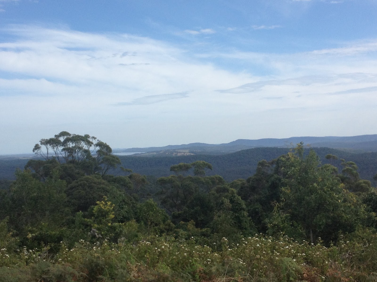
VK2/MN-216 over the lake...


Showing full size of antenna
A good day all up, with great weather - hitting 30ºC. Propagation was not great, but the two summits we got to were activated easily.
This is the third time we've attempted 3 summits in a day, and we've failed each time. Total trip time, including a stop at Heatherbrae's Pies on the way home, 12.5 hours..
Great effort and great read
ReplyDelete