VK2/MN-108 Mt. Mistake, and VK2/MN-207 (Unnamed), 06/09/2018 by VK2NU/P

Map
Intro: these two summits are in the Wang Wauk State Forest off Wootton Way, just North of Buladelah.
My initial plan was activate VK2/MN-207 by parking on Wootton Way, and walking to the summit via Stoney Knob Road (about 3km). I was then going to return to the car, and attempt to drive into the Forest, via Wang Wauk Forest Way, and see how close I could get to VK2/MN-108. However, after a 4.30am start I got to the area early, so thought I would see what the drive on Wang Wauk Forest Way, was like.
As it happened, this was a very good dirt road and I was able to drive within 100m of the summit, without issue.
VK2/MN-108, Mt. Mistake
I took the Pacific Highway North, turning off just after Buladelah, left onto Wootton Way (at the Ultimate Petroleum Service Station). Drive on Wootton Way for 6km, until you see the following sign on the left.

Entry to the State Forest

Unfortunately I didn't have UHF CB Radio....
Basically stay Wang Wauk Forest Way, until you pass the 11km Road Marker..

The summit is located after the 11km Marker, but before the 12km (I assume)!
I parked the car at coordinates -32.270742, 152.241196, just off the side of the road. The summit is then about a 100m scamble through the bush to the left.

Looking towards the summit, over the car roof.
The scramble to the summit, is pretty straight forward, but there is a lot of ground cover, tripping hazards and is very rocky and overgrown. The summit is pretty evident when you arrive!


And yet another... gear propped against a rock near centre.
Set up was pretty straight forward, but care is needed, as there is no cleared area, and the summit is very rocky (under a cover of leaves)!
I set up using a Par Trail Antenna in sloper configuration (A dipole would have been difficult). I was set-up by 07.30am local time (2130Z), which was way earlier than I had expected, and this time meant chasers were 'thin on the ground'. Only 6 contacts were made in 50 minutes, all on 40m CW!

Phone coverage (Telstra and Optus) was OK from the summit, but intermittent on the drive in!
because I had originally alerted on SOTAWATCH for VK2/MN-207, I was spotted via the RBN for the wrong summit, even though all of my self spots were with the correct reference. 'Put this down to Rookie error, and not removing my initial alert!!'
Insect Alert: Whilst on the summit I noticed a lot of tiny flying 'Midges'. I didn't pay much attention, as I couldn't feel them biting, but after returning home that evening I was covered in very itchy red welts! I've never encountered these before, and maybe it was related to the early morning activation!!
VK2/MN-207, No Name (Should be 'Stony Knob')
I backtracked South down Wang Wauk Forest Road for about 6.5km, until I came to 'Shorty's Camp Road', on the left!

As the name suggests..
This again is a good dirt road, but after about 700m gets very steep, and my 2wd car was losing traction, so I parked here and walked the rest of the way. After about another 400m, turned left onto Stony Knob Road, which leads to the summit. Total walk was about 1.2km, with a climb of about 160m.

Standing on 'Stony Knob Road', looking down 'Shorty's Camp Road'!


Sign at intersection... No gate was found!

Looking back down 'Shorty's Camp Road' from the summit.
The summit is a flat open area, that at one stage held a 'Fire-Tower', (long since removed).


Summit looking West
There was plenty of room on the summit, which would be an easy drive up with a 4wd vehicle.


Concrete footing for the Fire-Tower
Antenna used was again the Par Trail Antenna, strung between 2 trees as a sloper.
First contact was at 10.25am (00.25z), and made 11 contacts in just over half an hour (mostly 40m CW again).. Obviously the chasers were more awake by this hour!
Managed to work VK2YK (the only other Op to activate this summit), on 80m SSB, which was notable, as my antenna is not resonant here at all (although the KX3 tuner, managed it OK).
Phone reception was good on the summit (Telstra and optus)
Phone reception was good on the summit (Telstra and optus)
Summary: Another 2 Mid-North Coast summits crossed off the list, but only 1-point each. Wang Wauk State Forest seems like a good area for 4wd enthusiasts, with some very good quality dirt roads. There are several walking trails in the area, and an old railway line and trestle bridge (not visited), which was once used for logging purposes I believe.

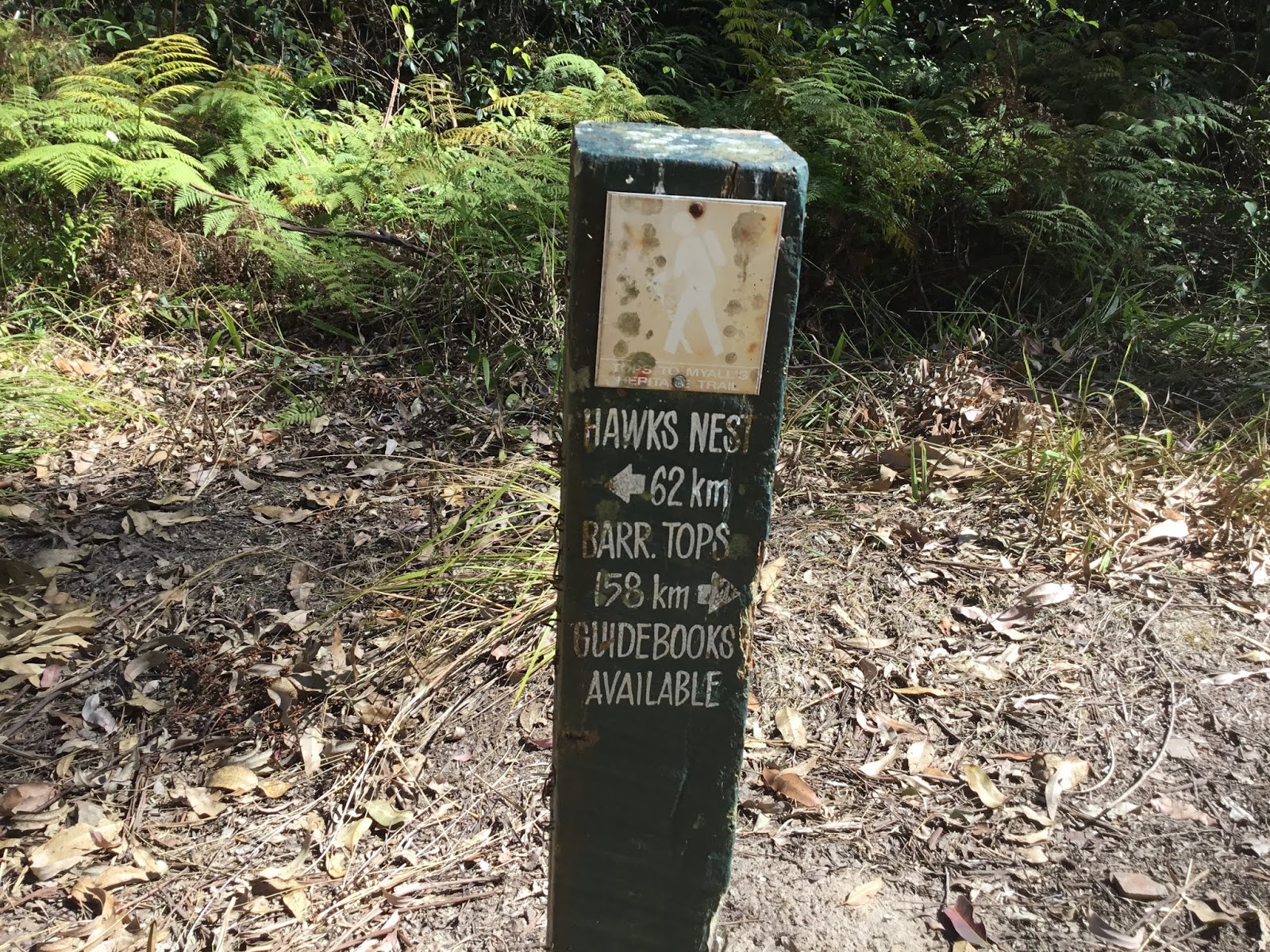
Sign found along Wang Wauk Forest Way
No comments:
Post a Comment