VK2/CT-006, Bonfire Hill
VK2/CT-003, Mount Bindo
VK2/CT-007, Mount Lambie
VK2NU/P 23/11/2017
Bonfire Hill

Map
OK, I'll try and keep this brief... An easy summit to get to.. South on Jenolan Caves Road, and turn off onto Wicketty War Road (A Good dirt track) - 'although 3hours 20mins drive from home!'

Turn off

Not This Way...
Looking at the map, there seems to be 2 possible entry points to the Summit, the the first is across private property (see picture above), so the first was discounted.
I parked the car further down the road, as shown by the green circle on the map. The road gets rougher here and I didn't want to risk the car anymore than I needed to.

Road get rougher near the end.
Walked a couple of hundred meters down the road and came to a gate, at which point you take the trail to the right. This at first dips and you have to cross a small stream..

Just a little too big to jump.
When planning today's trip, Bonfire Hill wasn't one of my original targets and as such I hadn't printed off any maps, or programmed the GPS with its location, although I had a rough idea of where it was. After crossing the stream, I thought I should check things out on the GPS, and Google Maps, only to find there was no phone reception on either Testra, or Optus, and I was even struggling to get a fix with the GPS due to the steep hill in front of me..
After the stream the track climbs very steeply for a kilometer or so, and gives the legs a good work out. The track is obviously used by 4wd's (but you would really want to know what you were doing before attempting it...).
Finally, after multiple stops for breath, the track crests a ridge line and splits into two. Phone reception is restored here, and I was able to get my bearings. turn right here, follow the ridge line, and you come to an intersection with three trails.

Three choices..
this intersection is not marked on the map, and is roughly at the point marked with a Diamond, on my trail map above..
The middle path is the one you need. Again, this is steep in places, and winds up to the summit (again, not shown on SOTAMAPS of GOOGLE MAPS).
Total distance is only just over 2km, but it took about 1.5 hours, due to the steep climb.


Top 6.. Summit Trail heading in opposite direction.
There are enough trees to provide support for antennas, and a little shade, but not enough to spoil the view.

Ready to go... T-shirt drying on a rock..
I was on air by 9.45am local time, and 13 contacts were made in about 20 minutes. Was packed up and back at the car by 11.00am, about half the time it took to go up..

Found this fella on the trail on the way back...
Insect Alert: There were lots of biting insects on the summit, which looked like March Flies, although not being March, I'm sure they were something different. Not the worst I've experienced but very annoying...
Bindo

Map
Not too much to say about Bindo, as it's a popular drive-to-summit.
Only two points of note..
- On leaving Bonfire Hill, I set my SatNav to take me to Mt Bindo, even though I had the printed map above, and had a route planned. The SatNav took me via Duckmaloi Rd, and Then Evans Road (bottom centre of the map above). This route is not suitable for 2wd vehicles, and whilst I got to within 900m of the the summit, I gave up and turned back). 40 minutes wasted....
- I headed back towards Jenolan Caves Road, and turned off just before getting there, onto Tea Tree Ridge Road. I followed this all the way to Bindo Boundary Road, turning left, and then taking the side road to Mount Bindo. Others have gone the Airstrip Road route, which I'm sure is fine, but my route was also good for 2wd vehicles.


Road in.. Storm clouds brewing with thunder in the distance.
Not the prettiest summit, lots of trash around and not much shade.
Insect Alert #2. I originally set up at the foot of the Trig Marker (which was heavily vandalised), but got invaded by ants. I moved a couple of times, and ended up standing with the radio in one hand, and the CW key resting on the Trig Marker..
Nine QSO's, including a second S2S contact for the day with ZL1ATH. The short range inter-VK2 skip had just about gone by this point. Not sure if the coming storm played a part, but this wasn't the quietest of RF locations!!
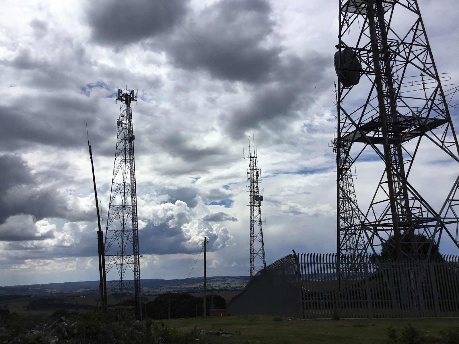
Lambie
Again, not much to say about this summit. The SatNav got me straight there (about a 40 minute Drive from Bindo, via Rydal Road) this time though. Bonadventure Road, is not the best dirt track, but still managed OK. You have to go through two closed gates to get to the summit, which has 5 towers spread about.


Only spent about 40 minutes total on the summit with 8 QSO's.. The storm was getting close, and the RF noise, especially on 40m was nearing S9..
The rain hit, just as I reached the Great Western Hwy, so for once my timing was spot on...
Summary. 14 hours (8 driving), 500+ km, and 24 points...
No comments:
Post a Comment